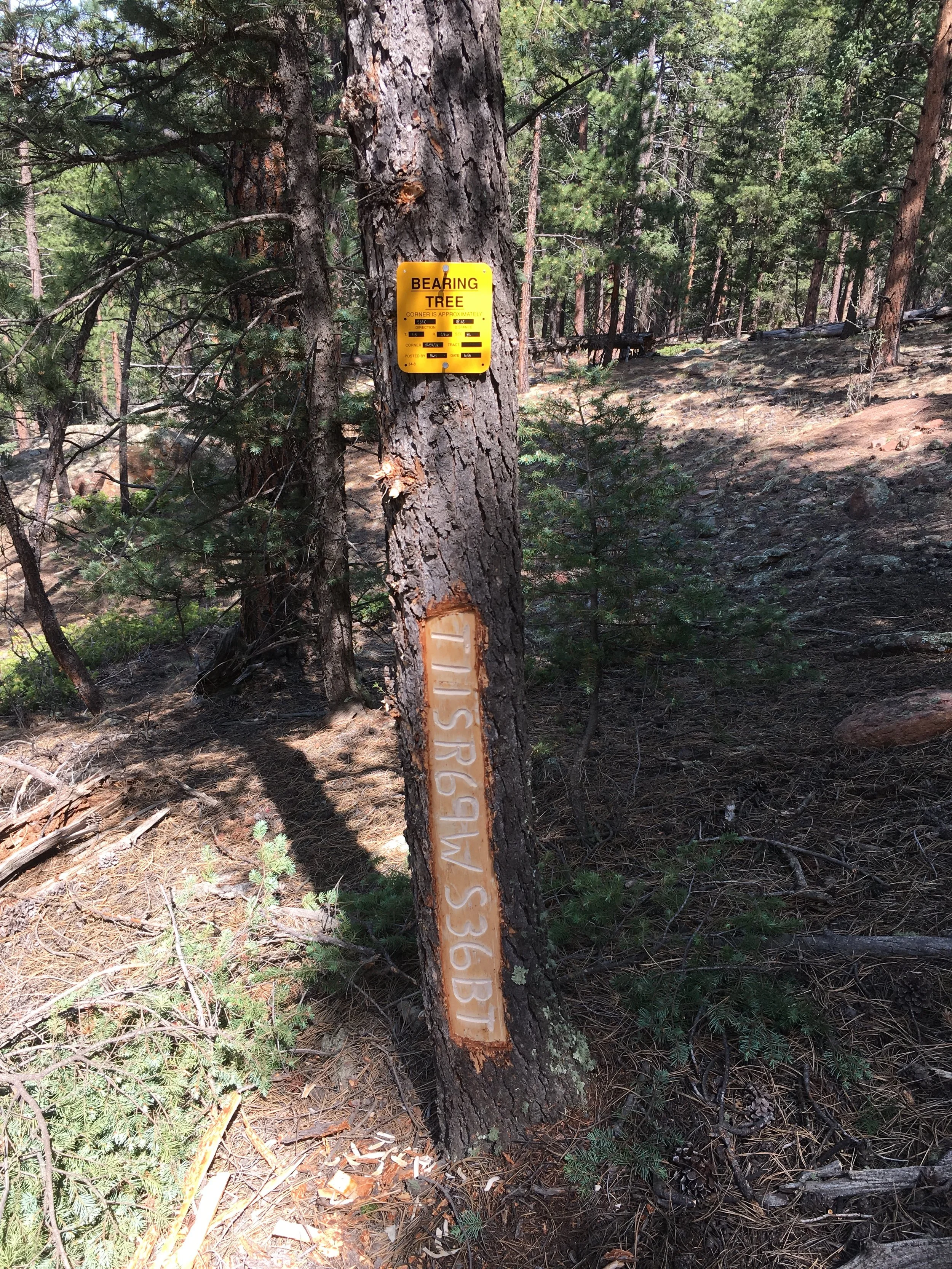
A Newly Scribed Bearing Tree
Bearing trees are monumentation too! They are established to ensure that an obliterated corner monument can be reestablished in the same location without paying for another land survey.
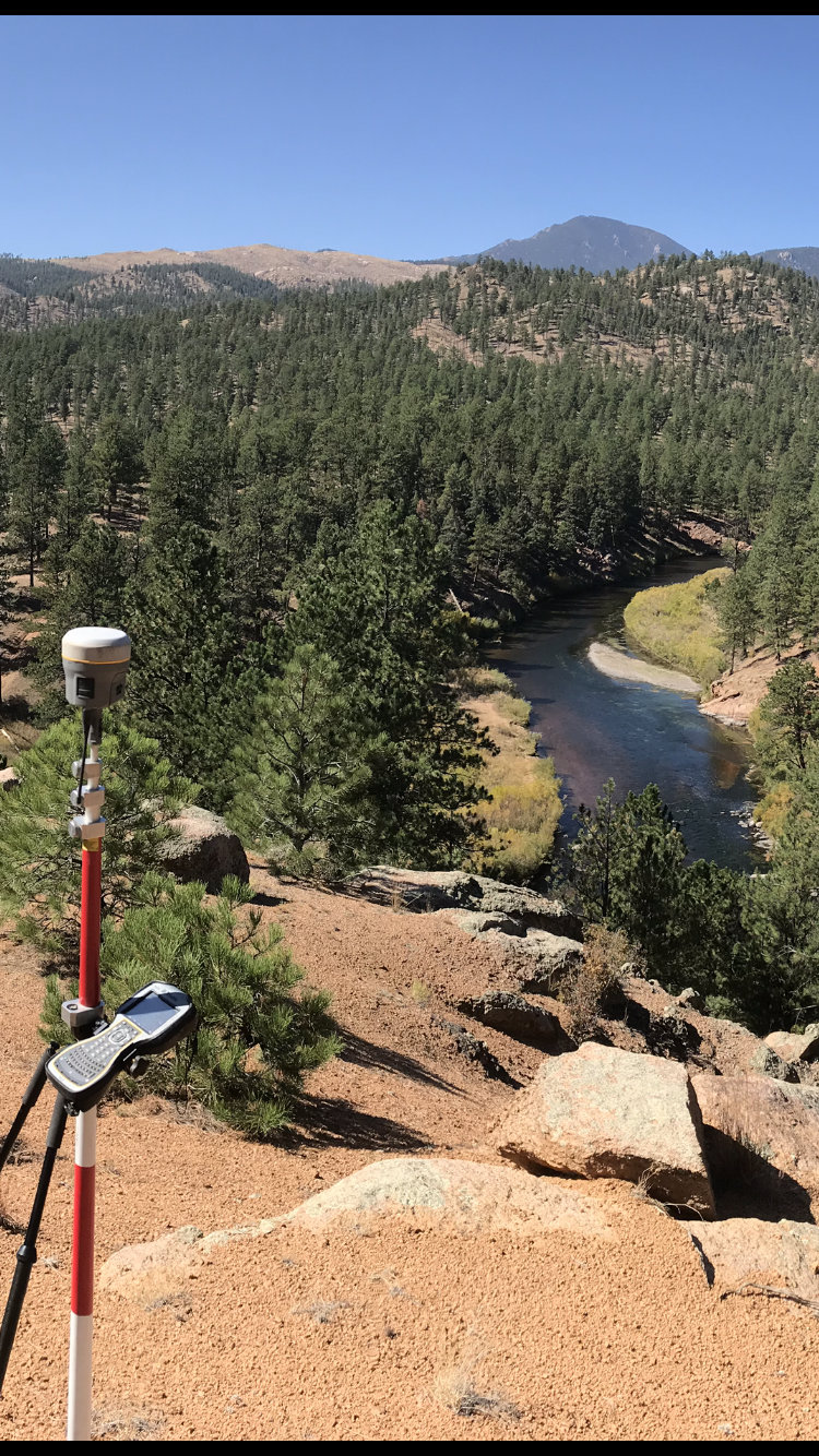
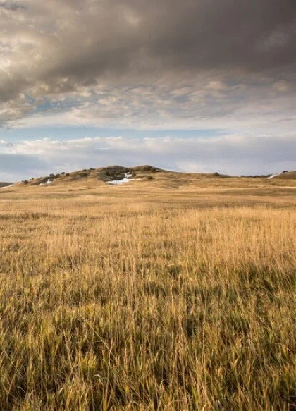
Boundaries Along Waterways
Boundaries along waterways can be tricky. In some cases, riparian law may allow for a slow and imperceivable shift in the location of a boundary along a waterway. Be sure to know the facts with a new boundary survey.
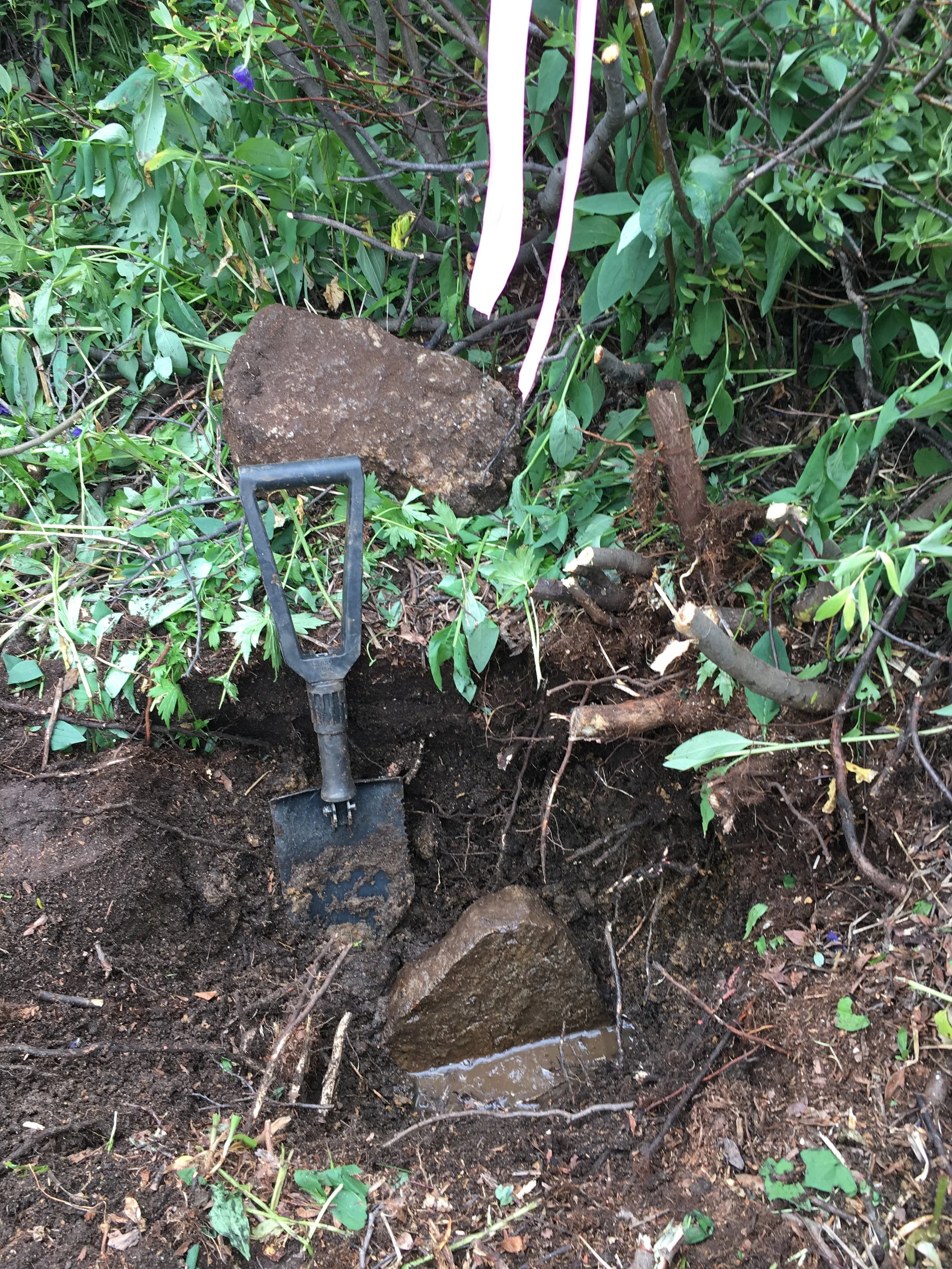
Buried Monuments
Buried monuments are often difficult to locate but are commonly encountered in boundary retracement surveys. In this case, an iron pin had been set a few feet from the original corner prior to our arrival. Fortunately, we were able to recover the original monument beneath the surface, which serves as the controlling evidence for the boundary.

Fences are Expensive
We live in an era where the cost of everything is so much. Don’t get caught replacing that fence that you intend to replace this year. Marking and posting of boundaries lets you know where your most valuable assets are, and properly placed fences keep those assets where they need to be...
GIS Mapping
Relying on tax maps or GIS data to determine property boundaries can lead to costly mistakes. These sources are typically not accurate and should not be used for boundary determination. Before you build, protect your investment with a boundary survey that clearly defines your property lines.
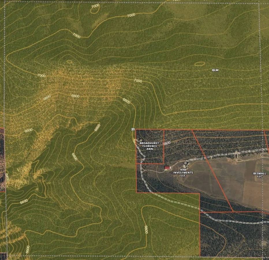
Does Your Land Adjoin Large Parcels of Public Land?
In some cases, this can be reassuring as a modern survey may have been completed. In other situations, it could signal a potential for conflict, especially when encroachments, gaps, or overlapping claims arise. A professional boundary survey provides clarity, peace of mind, and the legal foundation you need to protect your property rights with confidence.
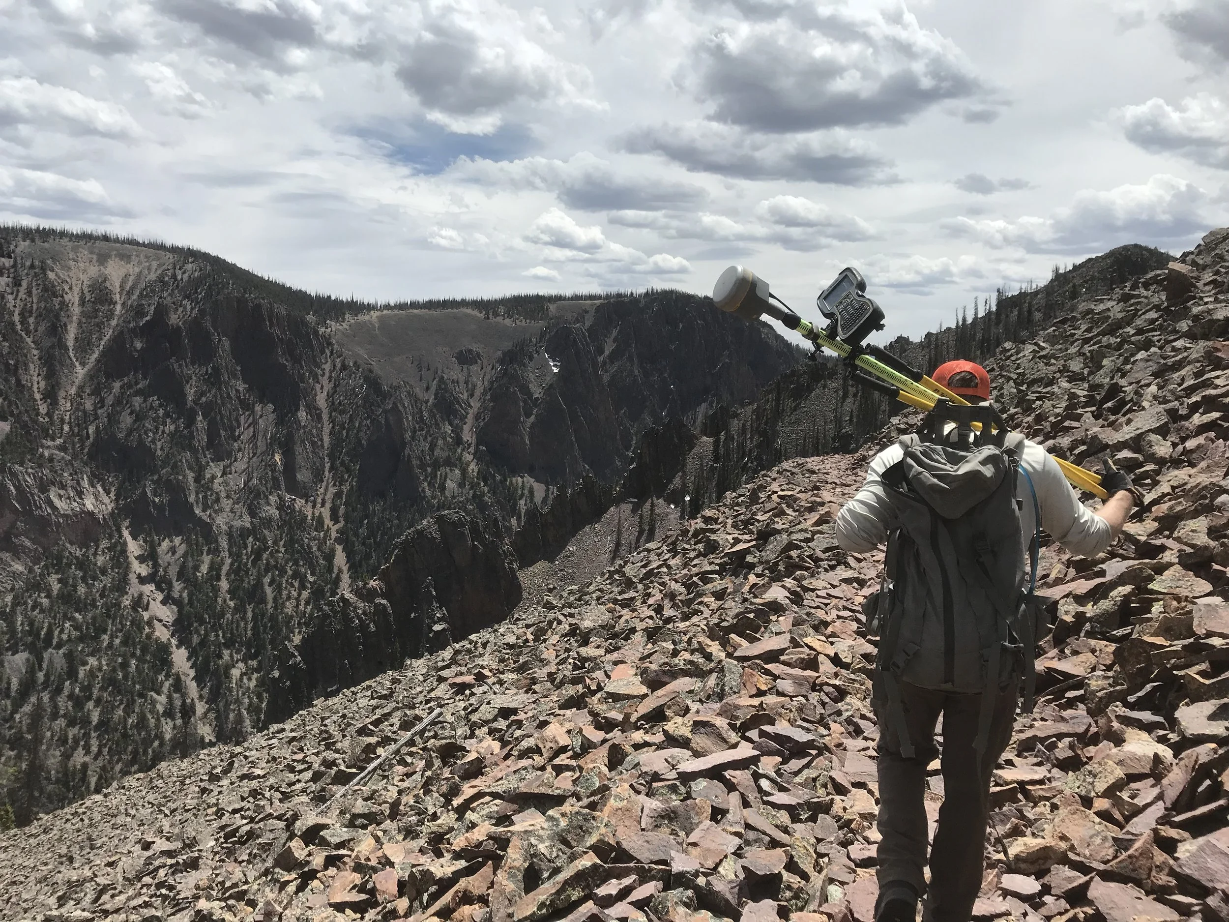
Mineral Lands
Maybe your investment is below the ground? Mineral surveys and claims can be challenging to locate. A boundary survey can help identify the extent of your rights to minerals and other interests underneath your feet...

Need a Second Opinion?
Sometimes professionals can make mistakes. It’s important to trust your judgement early on and get a second opinion. We can investigate boundary defects and provide guidance to solve them.